The sun produces an astonishing amount of energy. In one second it generates enough to meet the needs of civilization for 500,000 years. More important, enough sunshine hits the earth in a single hour to power the global economy for a full year. Unfortunately, only a tiny fraction of that energy is captured. If all the available spaces in big cities had solar panels, they could supply 40-50 % of its energy needs. In short, humanity is sitting on — or rather, under — some massive potential with solar energy.
The road to solar power is paved with questions: about affordability, weather and light patterns, usable area, angle and tilt, government incentives. The information is scattered across the web, from databases sparse across websites. Going solar, in other words, isn’t anywhere near as easy as it should be, and could be.
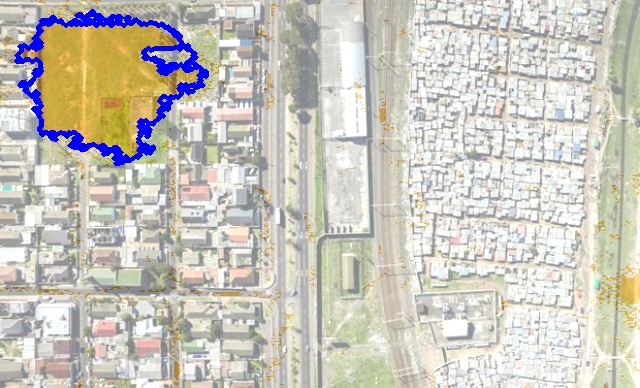
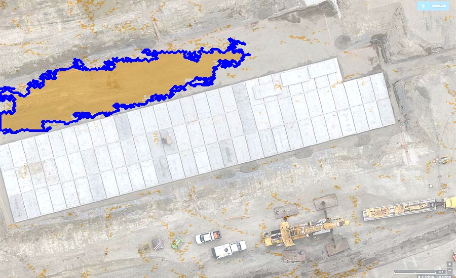
Our team is also exploring international coverage and planning to start alignment insights in which the sun rising and sunsetting in addition to weather and construction patterns in a given area is considered to give the best solar panels placement.
this information will give researchers, community advocates and local policymakers access to more aggregated data of solar potential to help them make the case for larger solar deployments.